 |
Ei, hola! Sabies que Vikidia l'escriu gent normal com tu? Crea't un compte i uneix-te a la comunitat! |
Fitxer:Netherlands-CIA WFB Map-10-10-10.png
Salta a la navegació
Salta a la cerca
No hi ha cap versió amb una resolució més gran.
Netherlands-CIA_WFB_Map-10-10-10.png (330 × 353 píxels, mida del fitxer: 68 Ko, tipus MIME: image/png)
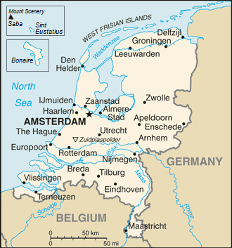
| Descripció | Map of the Netherlands |
| Data | (UTC) |
| Font | |
| Autor |
|
| Això és una imatge retocada, cosa que vol dir que ha estat alterada digitalment de la seva versió original. Modificacions: {{{1}}}. L'original es pot veure a: Netherlands-CIA WFB Map.png:
|
This image is in the public domain because it contains materials that originally came from the United States Central Intelligence Agency's World Factbook.
|
 |
Registre original de càrregues
This image is a derivative work of the following images:
- File:Netherlands-CIA_WFB_Map.png licensed with PD-USGov-CIA-WF
Uploaded with derivativeFX
Historial del fitxer
Cliqueu una data/hora per veure el fitxer tal com era aleshores.
| Data/hora | Miniatura | Dimensions | Usuari/a | Comentari | |
|---|---|---|---|---|---|
| actual | 18:17, 14 set 2019 | | 330 × 353 (68 Ko) | wikimediacommons>Thayts | Borkum to Germany |
Ús del fitxer
La pàgina següent utilitza aquest fitxer: